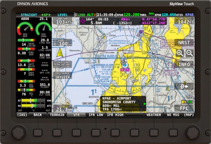
Dynon had a major update that added a bunch of great features to my EFIS system. Skyview is now available in touch screen and current screens like mine can be upgraded for a reasonable cost. There are two big software improvements that I really like. Now all US maps and charts and procedures and airport diagrams are displayed on the screen and they're georeferenced. The chart subscription only costs $99 per year. That replaces several thousand dollars worth of paper charts not to mention the hours I used to spend doing the paper swap when I flew with the airlines. Also, Skyview now links to my Garmin IFR GPS and displays and can automatically follow the flight plan.
Thursday, April 3, 2014
Subscribe to:
Post Comments (Atom)


No comments:
Post a Comment
Comments?